Topographic and Geodetic Services
Overview
Topographic and geodetic services provide accurate land measurements required for the design, execution, and monitoring of construction and infrastructure projects. These services are essential for determining the exact position, shape, and dimensions of land parcels, as well as for preparing the related technical documentation.
The scope of work includes topographic surveys, cadastral plans, site staking, planimetric and altimetric determinations, and construction monitoring. All activities are carried out using modern surveying technologies and instruments, ensuring high accuracy and full compliance with technical and legal regulations. The results are delivered in clear, reliable documentation suitable for design, permitting, and execution purposes.
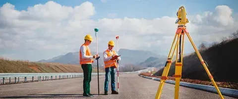
Accurate Measurements and Comprehensive Geodetic Documentation
We deliver precise topographic and geodetic measurements along with reliable technical documentation, supporting efficient design, permitting, and construction execution in full compliance with regulations.
Service Information
Other Services
Discover other services offered